Watershed
Upper East Fork Whitewater River Watershed Study
In 2023, the Wayne County SWCD launched efforts to protect and improve the Upper East Fork of the Whitewater River and its 138,686-acre drainage.
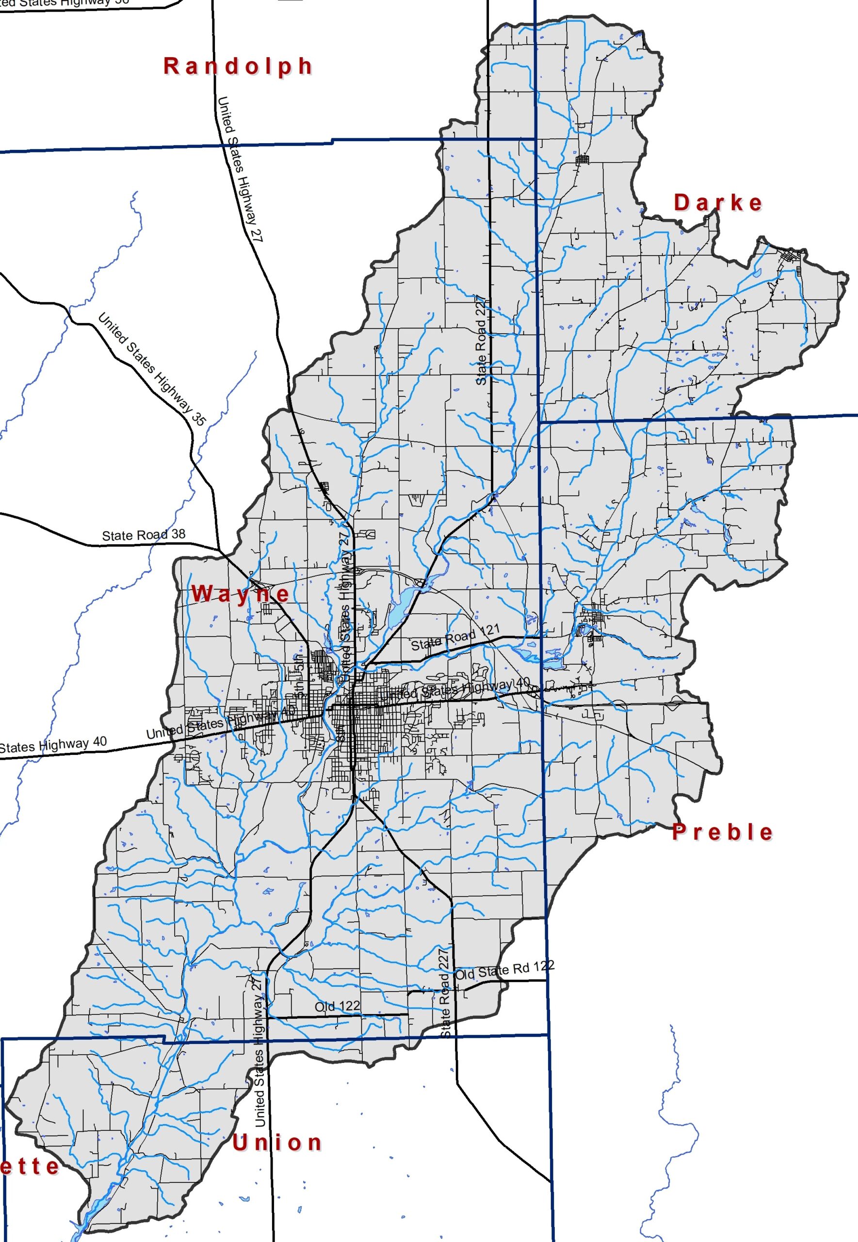
The Upper East Fork Whitewater River Watershed drains portions of Randolph, Union and Wayne Counties, Indiana and Darke and Preble Counties, Ohio.
About the Upper East Fork Whitewater River Watershed
Land within the Upper East Fork Whitewater River Watershed is predominantly in agricultural row crop or pastureland (62%) with an additional 20% in forest and wetland land uses and 17% in urban land uses. A majority watershed soils are very limited for septic use.
What is a watershed?
The Upper East Fork Whitewater River Project focuses on protecting and improving water quality in the Upper East Fork Whitewater River Watershed. All of the land from which water drains into a singular waterbody – in this case this reach of the East Fork Whitewater and forms a watershed. These drainage boundaries are determined by land elevation rather than state or county lines, political boundaries, or residential property lines.
Click Here for a google map of the watershed. The different colors represent the different Hydrological Unit Codes (HUCs) associated with the project. This study includes 10 HUCs upstream from Brownsville, IN.
The Upper East Fork Whitewater River Project
This phase of the Upper East Fork Whitewater River Project includes three main goals:
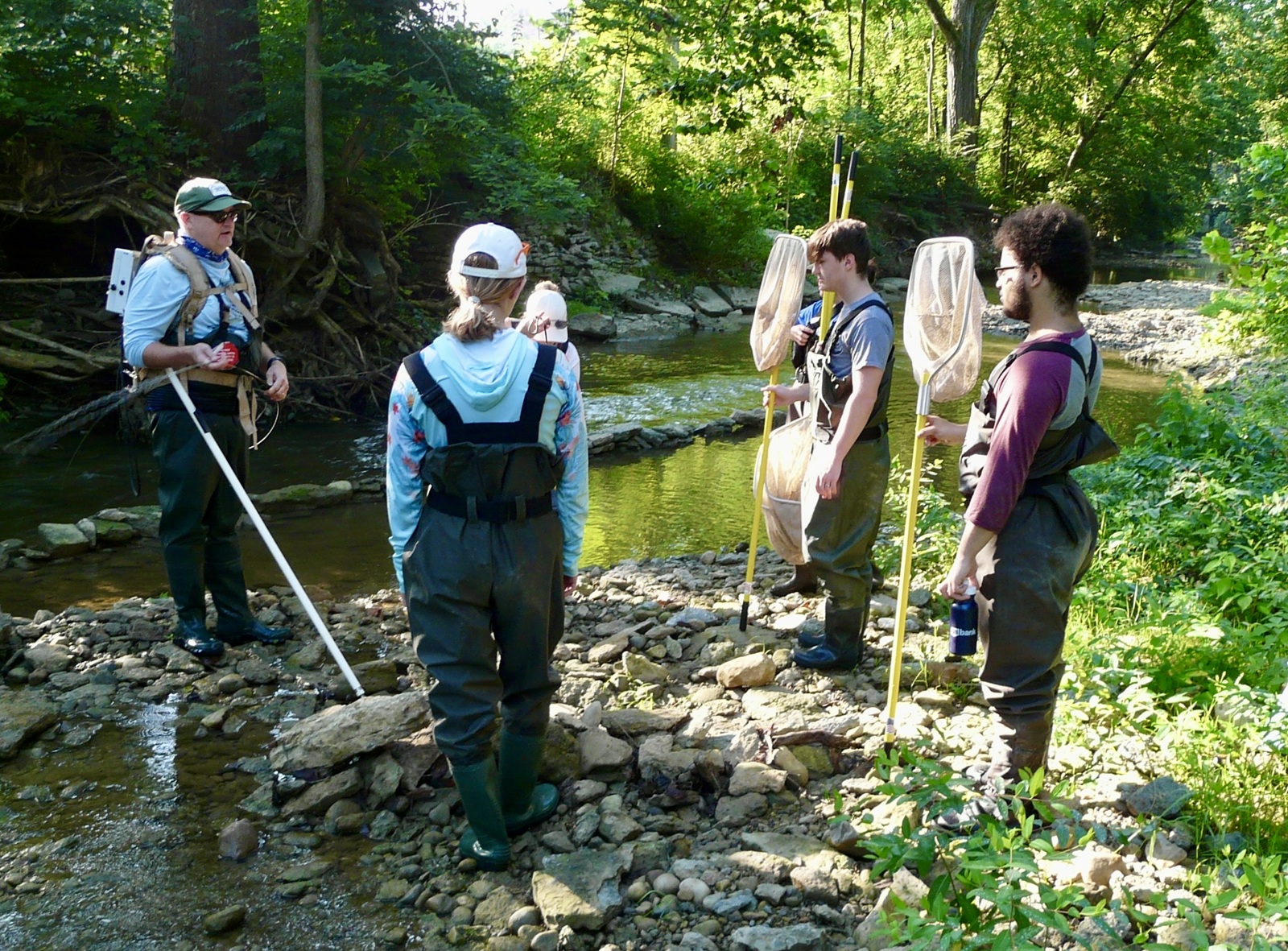
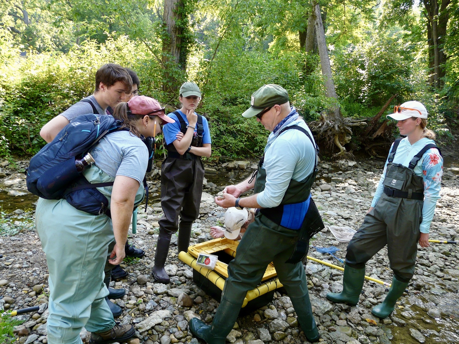
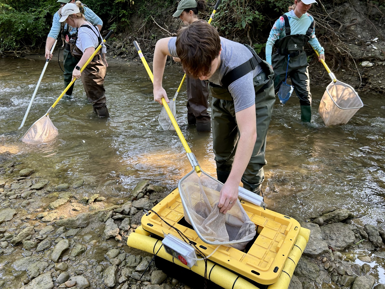
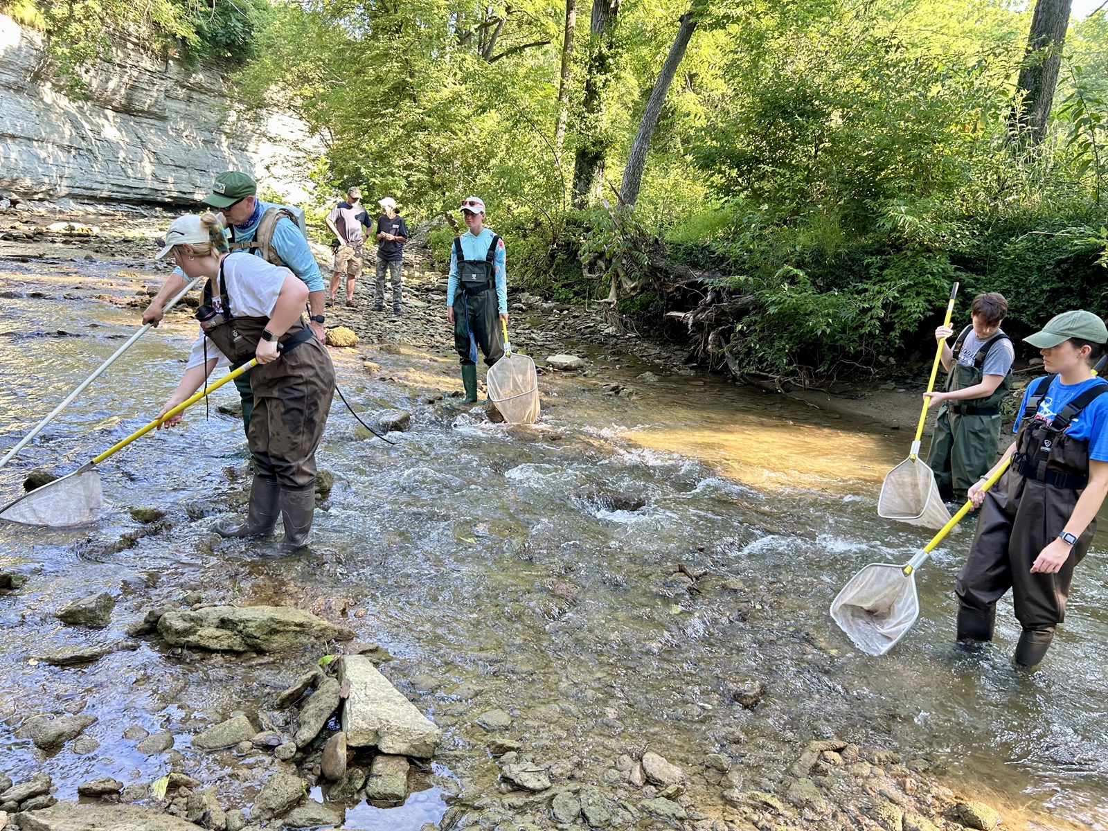
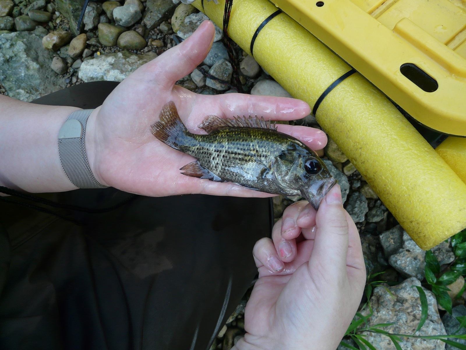
- Assess Water Quality: The Upper East Fork Whitewater River Project in partnership with the Richmond Sanitary District and Earlham College will assess water chemistry, fish and bug communities and available habitat across the Basin. Chemistry samples will be collected throughout the year (May 2025 to April 2026) while biological and habitat assessments will occur in the Summer of 2025.
- Watershed Management Plan: The Upper East Fork Whitewater River Project will connect stakeholder concerns with water quality and computer generated data to develop a step-wise plan for protecting and improving Upper East Fork Whitewater River, its landscape and its water quality. The planning process will include regularly-schedule steering committee meetings with draft plans posted here.
- Education and outreach: The Upper East Fork Whitewater River Project will engage youth and adults through workshops and field days, community events, monitoring water quality and more.
Links of Interest:
Past watershed project documents:
- West Fork Whitewater River Watershed_FINAL_REPORT_4_9_18_
- Newsletters
- West Fork of the Whitewater River Survey Results
Join the Upper East Fork Whitewater River Project!
- Join our volunteer list to help with future water sampling, windshield survey, clean up events and more.
- Become a Hoosier Riverwatch volunteer monitor – we’ll host the training and provide the equipment!
- Share your thoughts on the Upper East Fork Whitewater River Watershed via email or phone – contact Jen at Wayne County SWCD for more information.
- Send us data or photographs – how did this reach of the Upper East Fork Whitewater River and its tributaries look in the past?
- Have data, historical reports or photographs, ideas or information? Send those our way!
- Share information about the Project with your friends, neighbors and local groups. We’d be happy to talk with you and your group about the project.
Upcoming Meetings/Events:
Steering Committee Meeting – August 6th – 10am – Wayne County Council Chambers – Wayne County Annex Building
Steering Committee Meeting – November 12th – 10am – Wayne County Council Chambers – Wayne County Annex Building